Spatial Decision System
Overview
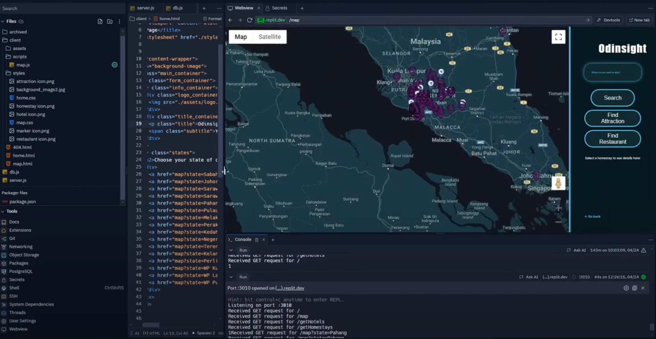
The project integrates hotel and homestay data with Google Maps for a comprehensive spatial decision-making platform. Users can view locations, overlay relevant geographic data, and explore nearby businesses related to tourism, such as restaurants, rental services, and souvenir shops.
The development process was carried out over five weeks, with tasks ranging from data extraction to implementing advanced visualisation features.
Project Features
Hotel and Homestay Location Database:
Extracted data from:
Ministry of Tourism, Arts and Culture Malaysia (MOTAC) Hotel Directory
MOTAC Homestay Directory (PDF format)
Database fields include:
Name
Full address (street, region, city, etc.)
Longitude and latitude (geospatial coordinates)
Interactive Map Visualisation:
Developed using the Google Maps Platform and React.
Features:
Pinpointing hotel and homestay locations on a map.
Overlaying additional data layers (e.g., rainfall information).
Tourism Business Mapping:
Plotted tourism-related businesses based on Google Maps data, including:
Photography services
Travel and tour agencies
Food and beverage establishments
Rental services (cars, bikes, taxis)
Souvenir shops
Bed and breakfasts
Technical Stack
Frontend: React
Backend: Node.js
APIs: Google Maps API
Data Handling: CSV and JSON for database storage
Tools: Web scraping, PDF data extraction